

Topos US
Entwickler Pignology, LLC
2.99 USD
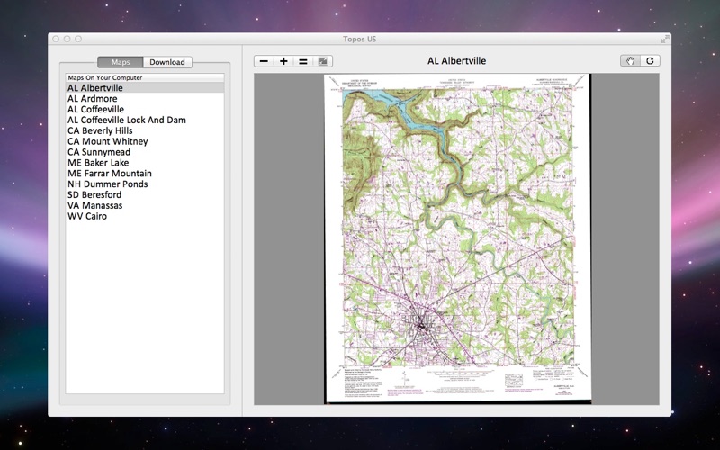
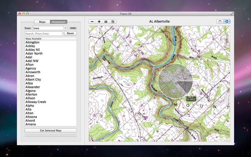
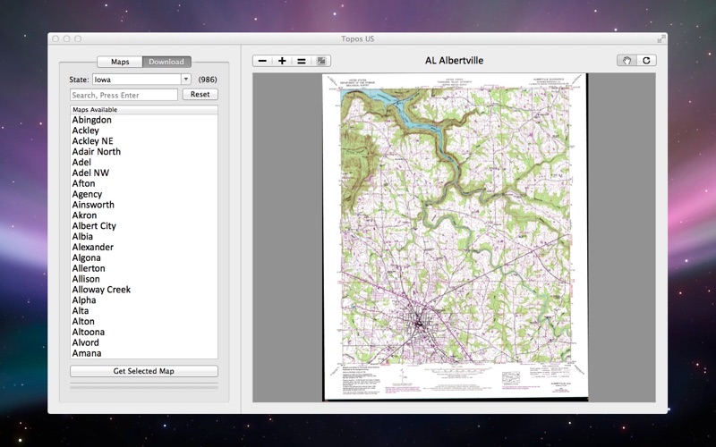
Topos US is an app that provides access to download and view high resolution USGS topographic maps for the United States.
REGARDING MAP DATES:
You will often see a date on a downloaded map that seems pretty old. This is the date of last physical survey. This could be a long time ago. Often maps will be compared to aerial photography to verify buildings but not always. I cant do anything about this and besides, mountains dont move that quick.
See the "Currentness Year and Version Year" section here: http://egsc.usgs.gov/maplists/howtoselectmaps.html
This app includes 49 states, with most states having over 99% of the maps for the state.
Please note the following:
Alaska is not included.
Most of North Dakota and Florida are missing.
Access over 50,000 USGS Topo Maps, zoom, pan, rotate, etc.
Please contact us at [email protected] so we can resolve any issues quickly.
Have a feature request? Send those over to support@pignology too. Im always happy to fix problems and make apps better.
Review Responses:
FishMike: Pinch to zoom in/out is in the app. Can you get in touch with me so we can figure out why its not working for you?